Driving the Dempster Highway Comprehensive Guide
The drive on the Dempster Highway is an odyssey. It is one of Canada’s most epic road trips, leading from Dawson City, Yukon, to Inuvik, Northwest Territories. The route crosses the Arctic Circle and winds through mountains and valleys amidst extraordinary scenery. In Inuvik, it connects to the new Inuvik-Tuktoyaktuk Highway route, which runs all the way to the Arctic Ocean. It is Canada’s only year-round road that crosses the Arctic Circle. But this drive is challenging, stretching 543 miles (874 kilometers) one way on a gravel road. How can you prepare for this adventure? What can you expect on the Dempster Highway? Is driving on the Dempster Highway dangerous? What should you pack, and where can you stop along the way? You’ll find all the answers in our Dempster Highway Comprehensive Guide.
This article may contain affiliate / compensated links. For full information, please see our disclaimer here.
Introduction to Dempster Highway Comprehensive Guide
Driving the Dempster Highway is no ordinary journey. Just like the Dempster Highway, it is no ordinary road. It is one of the most remote roads in Canada. It is also the northernmost road in Canada. It passes through the Yukon and the Northwest Territories.
This beautiful but extremely challenging route crosses the Arctic Circle and is the gateway to the Canadian Arctic. If you decide to end your trip in Tuktoyaktuk, you can dip your foot into the terrifyingly cold Arctic Ocean.
Dempster Highway – Our Experiences
A road trip on the Dempster Highway is an adventure that requires a lot of preparation, caution, and mindfulness on the part of the traveler. Chris and I have traveled many difficult roads in America, as well as the Dalton Highway in Alaska. Our longest trip lasted eight months, and we traveled over 26,000 miles from Alaska to Florida. So we have experience.
The Dempster Highway is one of the most beautiful and incredible journeys through backcountry wilderness. In this article, we share our experiences and tips on preparing to drive the Dempster Highway and reach Tuktoyaktuk and the Arctic Ocean via the Inuvik-Tuktoyaktuk Highway. It was an incredible journey for us, and we loved the wild scenery and nature that we experienced during the Dempster Highway trip.
We have divided our Dempster Highway Comprehensive Guide into two parts. This article will teach you all the details and tips for preparing for your road trip. Step by step. What are Dempster Highway conditions, the dangers, and how to avoid them? We tell you when to go, where to stay overnight, where to refuel, and what weather to expect. After all, the Dempster Highway likes to surprise travelers.
The second part presents the best-stopping places along the road and the best highlights on Dempster Highway from Dawson City to Tuktoyaktuk.
What is the Dempster Highway?
The Dempster Highway, also known as Yukon Highway 5 and Northwest Territories Highway 8, is a highway in Canada connecting the Klondike Highway in Yukon with Inuvik, Northwest Territories, on the delta of the Mackenzie River. The route crosses the Peel and Mackenzie Rivers with a combination of seasonal ferry service and ice bridges. The highway was named after Inspector William J.D. Dempster, who served with the Mounted Police from 1897 to 1934. The Dempster Highway—Canada’s first all-weather road to cross the Arctic Circle—was officially opened in August 1979.
However, in November 2017, a year-round road connection from Inuvik to Tuktoyaktuk opened as the Inuvik-Tuktoyaktuk Highway. This created the road link connecting the Canadian road network to the Arctic Ocean. Before 2017, Touktuyoktuk wasn’t accessible by road or by car.
Because we traveled all of Dempster Highway to Inuvik and Inuvik-Tuktoyaktuk Highway, we give you a comprehensive guide to this adventure. For simplicity, we refer to the entire route to the Arctic Ocean as the Dempster Highway because that name is the most widely used.
How long is Dempster Highway?
The Dempster Highway runs northeast for 457 miles (736 km) via Arctic Circle to Inuvik in the Northwest Territories (NWT).
However, at Inuvik, at the end of the Dempster Highway, begins the Inuvik-Tuktoyaktuk Highway, which is 86 miles (138 km) long and leads to Tuktoyaktuk on the Arctic Ocean.
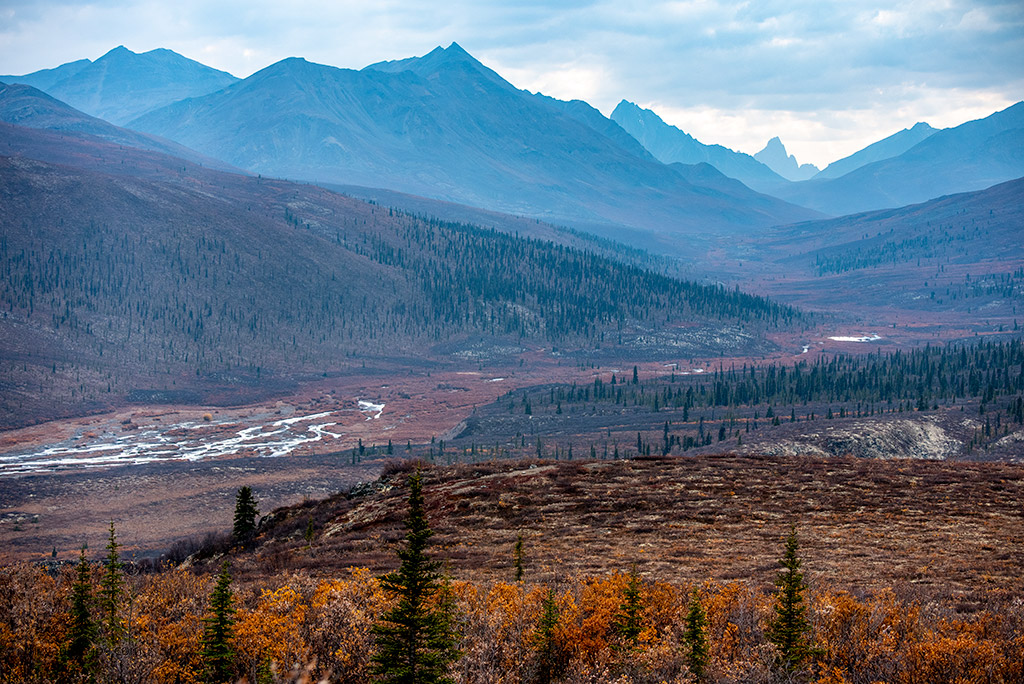
So, if you want to reach the remote and isolated community of Tuktoyaktuk and see the Arctic Ocean, you will have to travel 543 miles (874 kilometers) one way on the gravel road. The highway passes through Tombstone Territorial Park and crosses the Ogilvie and Richardson mountain ranges. The highest pass is North Fork Pass Summit, an elevation of 4,229 feet/1,289m.
The Dempster Highway is longer than the famous Dalton Highway in Alaska, leading you to the Arctic Ocean.
Dempster Highway on a Map:
Where does the Dempster Highway start?
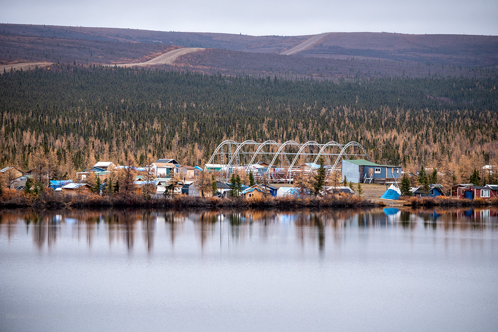
The Dempster Highway begins 25 miles (40 km) east of Dawson City, Yukon, on the Klondike Highway. There are no highway or significant road intersections along the highway route. It’s remote and pure wilderness.
Kilometers/miles reflect the distance from the beginning of the Dempster Highway in the Yukon, at the junction of Highway 2 (Klondike Highway) and Highway 5 (Dempster Highway). Set your odometer to zero and use the mileage/travelogue markers for navigation. At the mile/km 0 at the Dempster Corner is a public cardlock gas station with diesel. The next gas northbound is at Eagle Plains, 229 miles/369 km from here.
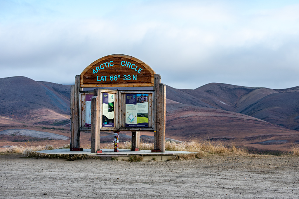
At the beginning of the highway, you will see the Dempster Highway Interpretive Display with information panels and driving tips.
Where does the Dempster Highway end?
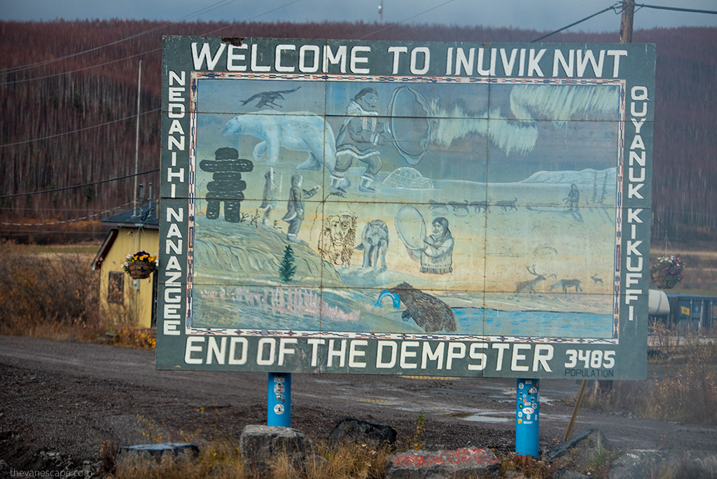
As we mentioned above, the highway leads you to Inuvik, Northwest Territories, on the Mackenzie River delta. Inuvik is both a Gwich’in and an Inuvialuit community.
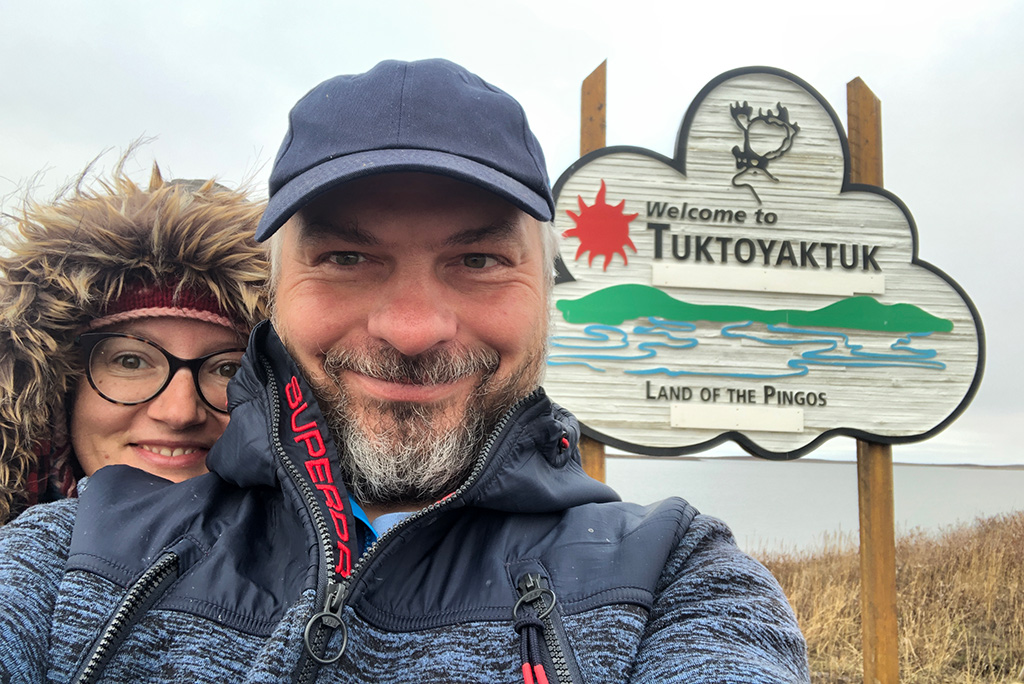
But from Inuvik, you only have 86 miles (138 km) to the Arctic Ocean via Inuvik–Tuktoyaktuk Highway, which was put into service a few years ago in 2017. It will lead you to a wonderful community in Tuktoyaktuk, so far isolated from civilization. This tour is worth the effort.
Distances from various locations to Inuvik and Tuktoyaktuk
To help you visualize how long and far this road trip is, here are some examples of distances from famous cities in Canada to Inuvik and Tuktoyaktuk. Keep in mind that it’s a one-way distance.
From Toronto, Ontario
– to Inuvik: 4,120 mi (6,611 km)
– to Tuktoyaktuk: 4,206 mi (6,748 km)
From Vancouver, British Columbia
– to Inuvik: 2,422 mi (3,898 km)
– to Tuktoyaktuk: 2,508 mi (4,036 km)
From Edmonton, Alberta
– to Inuvik: 2,010 mi (3,235 km)
– to Tuktoyaktuk: 2,096 mi (3,373 km)
From Whitehorse, Yukon
– to Inuvik: 762 mi (1,227 km)
– to Tuktoyaktuk: 848 mi (1,365 km)
From Dawson City, Yukon
– to Inuvik: 481 mi (774 km)
– to Tuktoyaktuk: 567 mi (912 km).
The end of the world? Yes. Do you still want to make this road trip? Then read more tips and information below because driving on the Dempster Highway requires preparation.
We drove from Alaska via Taylor Highway and the odd town of Chicken and Top of the World Highway. We stopped for two days in unique Dawson City to prepare for our adventure drive to the Arctic Ocean and Tuktoyaktuk. As we started our adventure with Dempster Highway in Dawson City, we covered 1134 mi (1824 km) in both directions.
Dempster Highway Map
Getting lost on this route is not difficult because there are no crossings to make a wrong turn. But be sure to pack a detailed map.
Dempster Highway is an extremely isolated highway. You will probably be without cell service and internet for a few days. There aren’t many civilizations on the Dempster Highway (below, we’ll show you all the places where you’ll find them). It’s a wasteland. You will encounter wild animals more often than other travelers. For a trip to northern Canada and Alaska, the best map is MILEPOST. We don’t know a better source.
We’ve been using it for years. We used it also during our Dalton Highway adventure in Alaska.
It is more than a map and more than a guidebook. The MILEPOST contains mile-by-mile descriptions of more than 15,000 road miles in Alaska, Yukon, the Northwest Territories, British Columbia, and Alberta. More than 600 pages describe accommodations, campgrounds, fishing, gas stations, attractions, and services along highways and byways in Alaska and western Canada.
Dempster Highway Conditions
Is Dempster Highway paved?
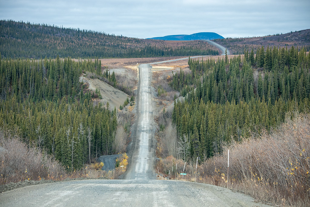
No. This is not a paved road. It is a gravel road through the mountains. Only the first 5 miles (8 km) of the Dempster are seal-coated, and the last 6 miles (10 km) before Inuvik are paved, the rest of the road is gravel. The stretch from Inuvik to Tuktoyaktuk is also a gravel road. This makes the route very strenuous.
How rough is the Dempster Highway?
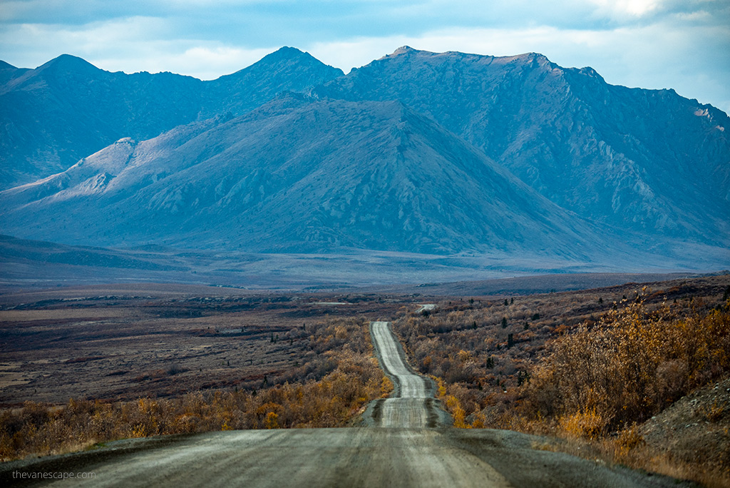
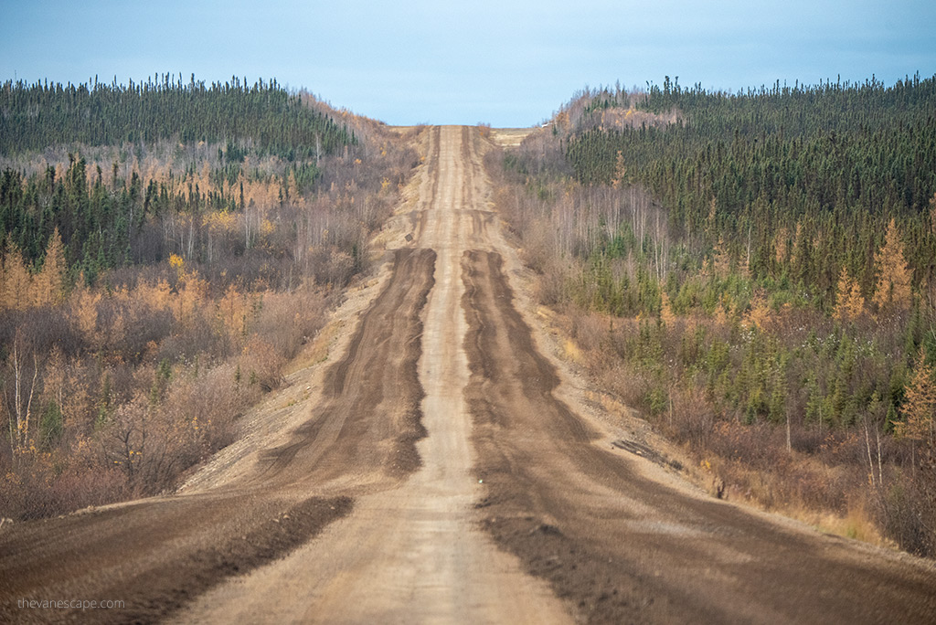
The Dempster Highway is a bit bumpy, so the ride is strenuous even for an experienced driver. It is the longest gravel and crushed stone road we have traveled so far. It is not technically demanding, but you have to adjust your driving speed to the road conditions and drive slower.
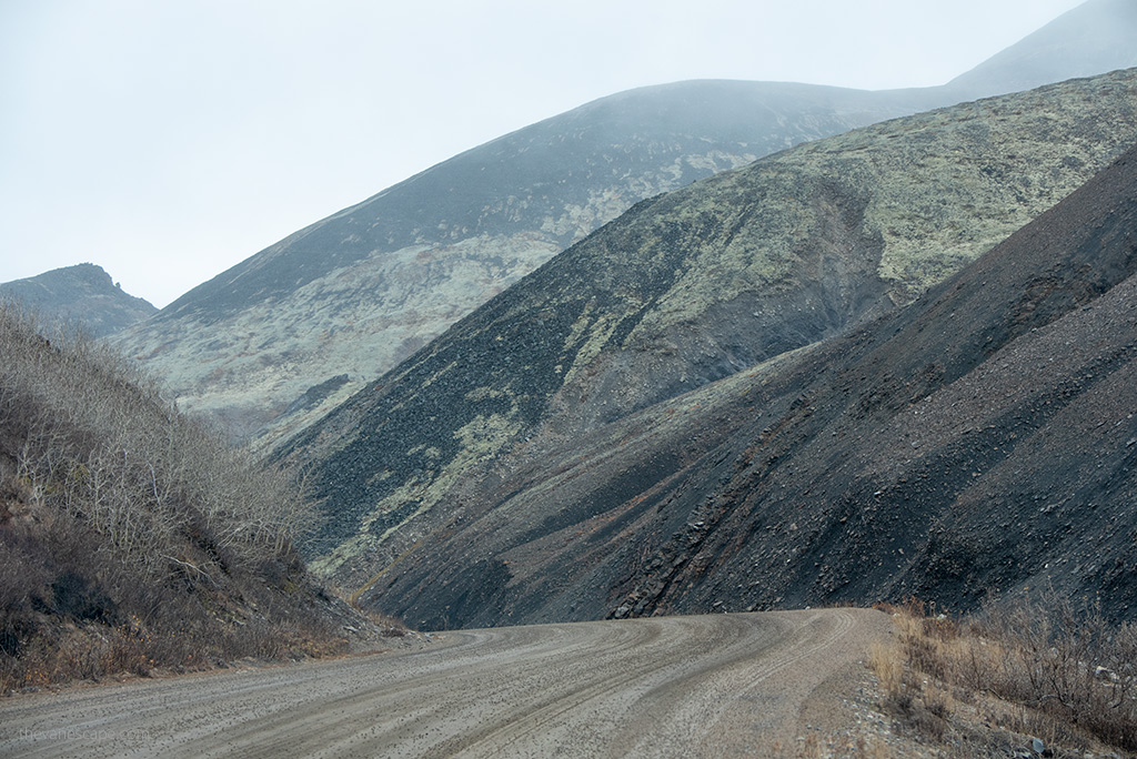
On this highway, drivers must be alert to sudden changes in the road surface, such as frost heave, potholes, swampy or slippery sections, and crushed shale (hard on tires).
How fast can you drive on the Dempster Highway?
The speed limit on Dempster is 55 mph (90 km/h). But drive slowly and take your time if you want your car to be in good condition at the end. Keep that in mind, especially if you have rented a car for this trip. We drove slower than the speed limit because of the roughness and road conditions. Be especially careful and slow down when it is raining or snowing.
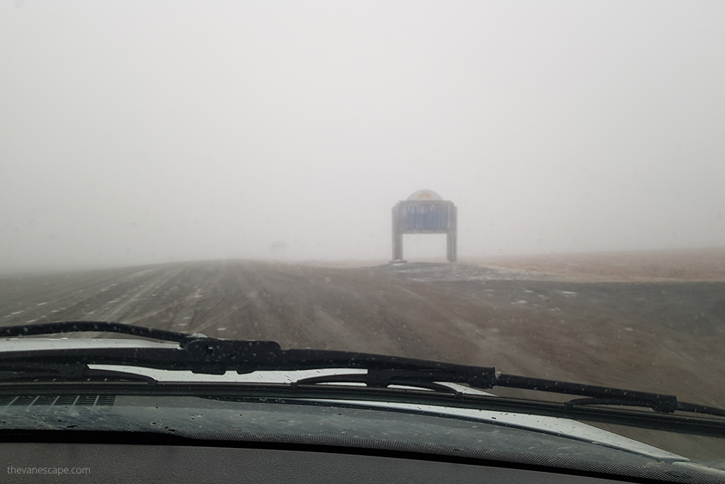
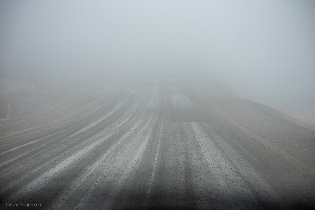
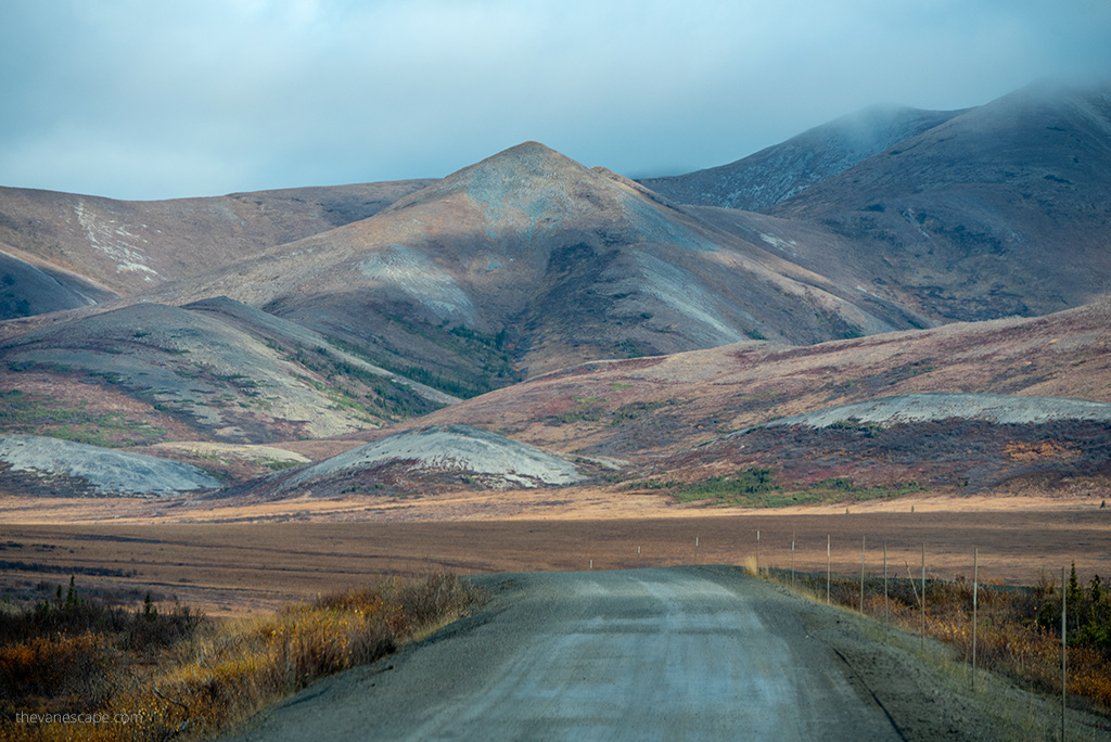
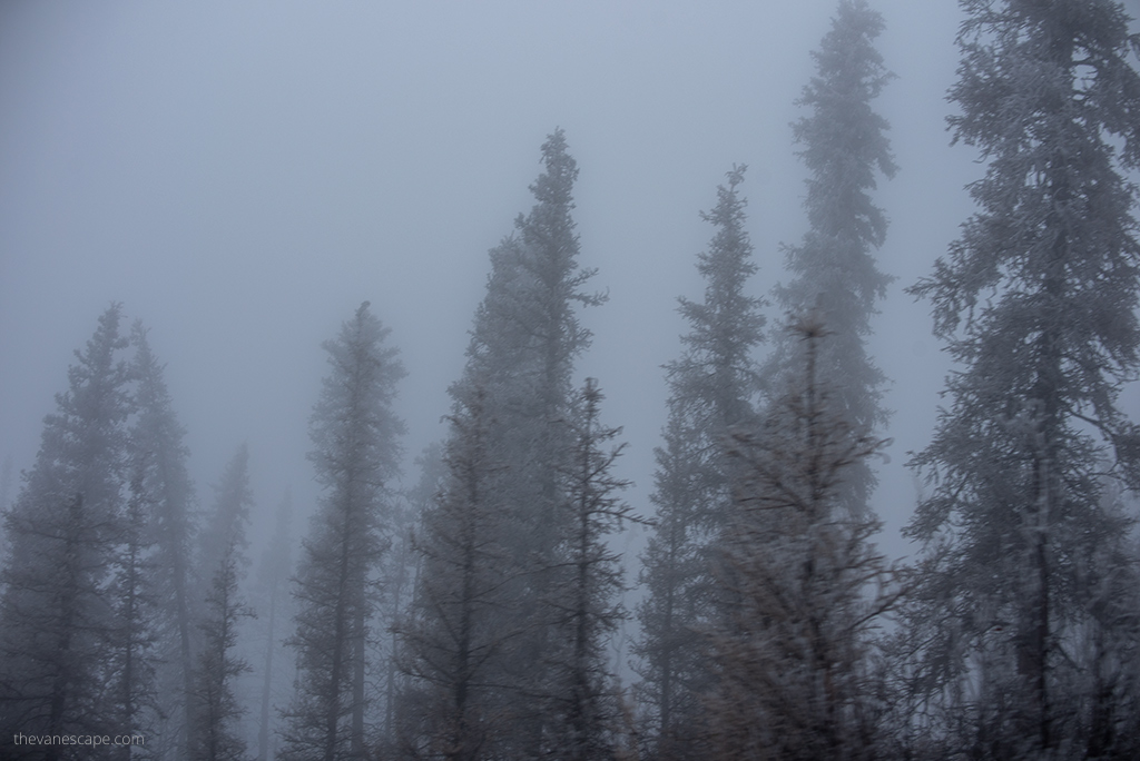
The road conditions are then very bad. We also encountered dense fog on the way back. Visibility was nil and driving became really dangerous. Regardless of the weather, you drive through the mountains, so clouds often overlap the road, significantly impeding visibility. Keep your lights on all the way while driving the Dempster Highway.
How long does it take to drive Dempster Highway?
The highway can be driven in 10 to 14 hours to Inuvik, and 2-3 hours from Inuvik to Tuktoyaktuk. But what for? Is it a race? Driving the Dempster Highway is an adventure. This route offers hiking, camping, wildlife viewing, and photo opportunities.
For the route to Inuvik, you should reserve at least four days for a trip both ways. But if you want to go to Tuktuyaktk to the Arctic Ocean, you should add at least 1-2 more days. So, the route from Dawson City to Tuktoyaktuk is at least 5 to 6 days.
Of course, it all depends on the weather on the road, your driving skills, and how much time you want to spend in landscape photography, wildlife viewing, or visiting Inuvik and Tuktoyaktuk. If you’re going to do this route calmly, you should give yourself 6 – 7 days.
Is the Dempster Highway dangerous?
The Dempster Highway is magnificent and wild. It is one of the most incredible highways we have ever traveled. However, it might be dangerous in some ways. Familiarizing ourselves with the risks and dangers that we may encounter on the Dempster Highway can help us avoid trouble. Preparing well can also help us enjoy an incredible journey. Below, you will find a list of things that you should pay special attention to before embarking on this route.
Threats on the Dempster Highway and Tips on how to prevent them
Limited services and assistance on the road
- You need to be aware that you will not have phone or internet access for most of this route (even if your provider says you will). So if you need medical or roadside assistance, you may be unable to call for it. It’s therefore worth packing a satellite phone if you want service, or at least a personal locator device (but only use it in case of a life-threatening situation).
- Even if you have phone reception (which is unlikely but can happen in the Eagle Plains and Inuvik area) or a satellite phone or SOS Personal Locator, expect help reaching you many hours later or the next day. Depending on where you are on the route, you will be hundreds of miles from civilization. There are no medical services for the entire 456 miles. So pack a well-stocked First-Aid Kit and purchase additional insurance for this trip.
- There is limited access to fuel, water, and food on this route (details below), so it’s essential to take your supplies with you. Be sure to carry an extra Jerry can filled with gas. You must also know that fuel is much more expensive on this route. Water taken from a non-commercial source along the highway should be boiled or treated before drinking. Bring a water filter or Water Purification Tablets.
- Also, pack some cash. You will not be able to pay with the card everywhere. Especially if you would like to support local communities in the remote Tuktoyaktuk or Inuvik by buying souvenirs, dry fish, or handicrafts – cash will be obligatory.
Gravel road surface – tire killer
- If you plan to get to the Arctic Ocean, you have to travel 1134 miles (1824 km) in both directions on a dirty, gravel road. It’s a challenge not only for drivers. Also, it’s a massive challenge for tires. It’s strongly advised that Dempster motorists carry a good jack and at least one full-sized spare tire (on rims, fully inflated). What’s more, learn how to change/fix tires before the trip. There is no road assistance. A roadside emergency kit is a must for this road trip. It should also be in your trunk Air Compressor. It’s a lifesaver when you find that your spare tire is slightly deflated. On this route, it is highly probable.
Broken windshields
- The Dempster Highway is also known for broken windshields. Cracks or dents caused by flung-up small stones from passing trucks are not uncommon. So be sure to pack a windshield repair kit. It is cheap and can be very useful on this route. Windshield spall repair kits can be especially valuable in preventing spalls from developing into full-fledged windshield cracks.
Changing weather
- Rapid weather change is one of the most common threats on Dempster Highway. It can affect speed and safety while driving. Sometimes it even prevents you from continuing to navigate. We were enveloped in a thick fog. Even though we had a two-hour drive ahead, we had to find a safe part of the roadside and wait until morning. It was too dangerous on the road. Visibility was nil. After about a dozen hours, we set out. After driving about 50 miles, we saw crashed RV next to the road. They had fallen out of the curve. They were probably in a hurry and did not wait for conditions to improve. There were no people inside. Luckily, someone helped them.
- Be sure to check the weather forecast before traveling. It’s best to visit Dawson City Visitor Information Centre. Also, recheck the weather when you reach the gas station in Eagle Plains. Ask employees what the latest forecast for the next few days is. Adapt your driving speed to the weather conditions.
Wildlife along the road
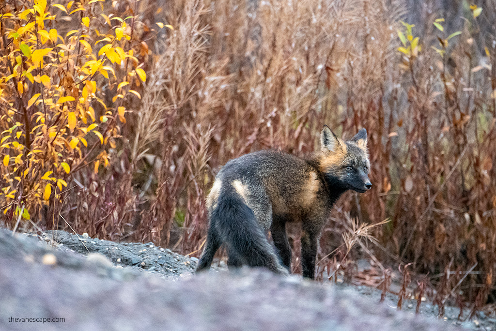
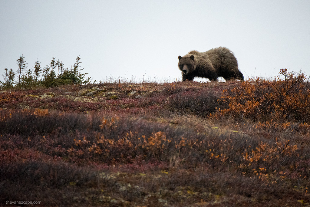
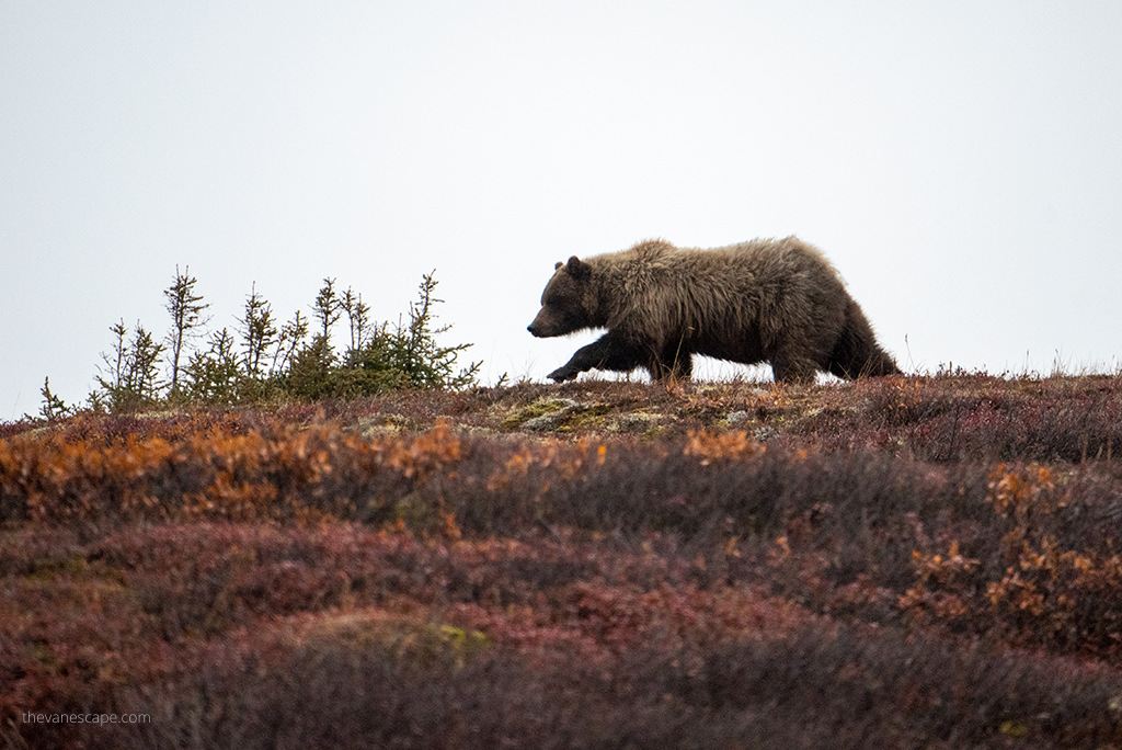
- Wildlife is another potential threat on the Dempster Highway. On the one hand, this route is delightful for wild animals and wilderness. This is an excellent route for wildlife watching. We love it. But on the other hand, the encounter with wild animals might pose a threat to them or us. So drive carefully. Watch the roadside because a fox, a bear, a moose, or a caribou may jump on the road.
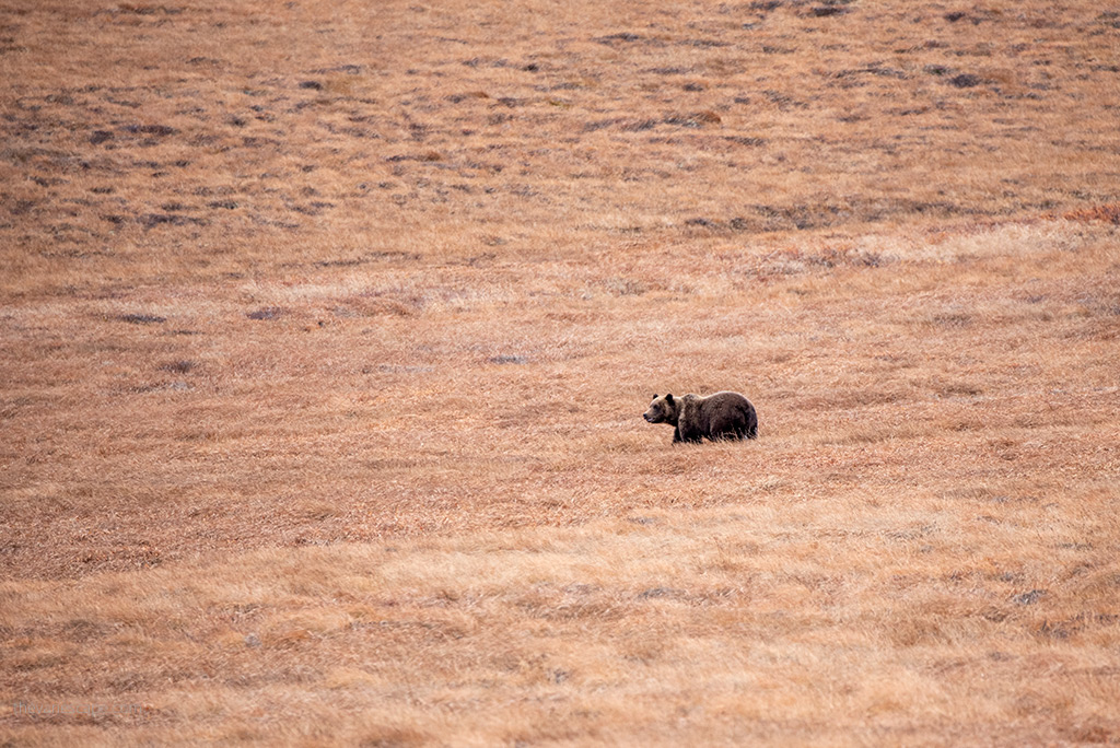
- You must also be careful when stopping and at the campground. Be sure to pack all your rubbish with you. Do not leave any food scraps, even a banana peel on the route. Keep any food and cosmetics in a smell-proof container. Each scent can attract wildlife. There is a large population of wolves and grizzly bears in the Dempster Highway area. Believe us, you don’t want to have a close encounter with them. Also, remember to pack bear spray. Mosquitoes and black flies can be very annoying in the summer. Use a product that contains at least 40% DEET. You will also need Mosquito Head Net or Hat with Hidden Net Mesh if you decide to hike or set up camp.
Other drivers
- There is not much traffic on this road, so it is easy to lull the driver’s attention. Drive with your headlights on at all times to be visible to others. If you meet other travelers and want to talk to them, exchange experiences – stop in a safe place on the side of the road. On this route, there are trucks with deliveries to Inuvik and Tuktoyaktuk, so do not stop in the middle of the road. Drivers should pull over for oncoming trucks or allow trucks to pass.
Dempster Highway Gas Stations
Refueling on this route is a massive challenge because the service is limited. It’s strongly recommended to carry extra gas for this trip. Fuel is much more expensive on this route. Check exactly how much your car is burning when preparing for the trip. Assume that you can burn more on this road because it is gravel and leads through the mountains. Make sure to the volume of the tank that is in the car.
Make sure you fill up in Dawson City which is 25 miles (40 km) from the beginning of Dempster Highway. Or, if you are coming from the Whitehorse side just before entering the Dempster Highway on the Klondike Highway, you will have one gas station.
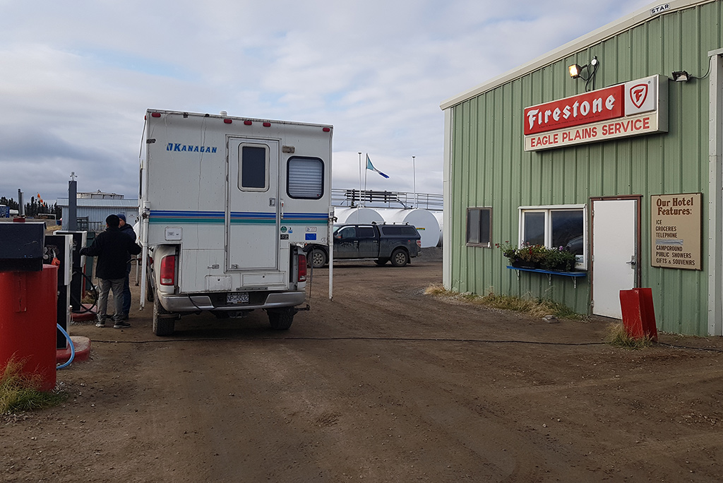
Gasoline, diesel, propane, and repairs are available at Eagle Plains 229 mi (369 km), Fort McPherson 345 mi (555 km), and in Inuvik. Gasoline and diesel are also available in Tuktoyaktuk (but no propane at Tuktoyaktuk).
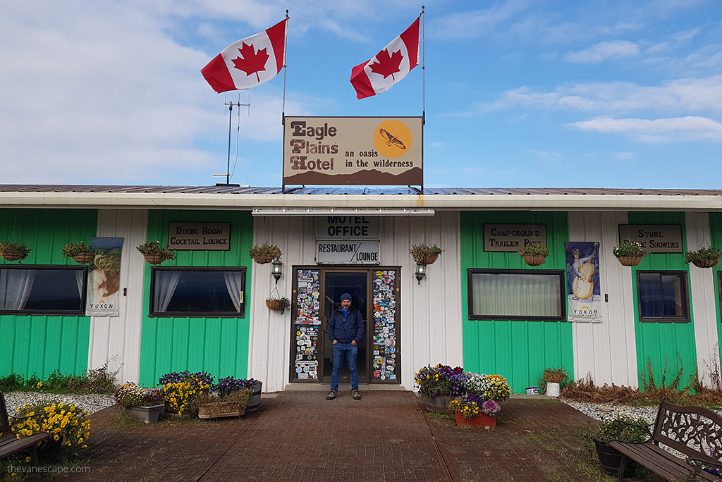
Note: Eagle Plains Hotel and RV Campground, is the first gas station on the Dempster Highway where you can fill your tank. It’s at a kilometer 369 (it’s on mile 229). So you have to be prepared for such a long distance without services.
Best time to drive the Dempster Highway
The Dempster Highway is not open all year round for vehicles. It is not passable all year round due to the weather. Winter, spring, and fall conditions are challenging. They may prevent your trip at all. In the winter months, it is available only for snowmobiles. Also, the route from Inuvik to Tuktuyaktuk to the Arctic Ocean is not passable for vehicles in the winter months. The rivers on the way are also frozen, so there is no ferry crossing.
When is Dempster Highway open?
The Dempster Highway is open in summer from about June 10 to October 14 and in winter from December 15 to April 30. In the fall, when the Peel and Mackenzie Rivers freeze over, the highway is closed for about 6 to 8 weeks, and again for 3 to 5 weeks in the spring when they thaw.
Pro Tip: Before traveling, be sure to check the weather and check the road conditions on the official Yukon website and the Northwest Territories – Department of Infrastructure website.
Dempster Highway Ferries
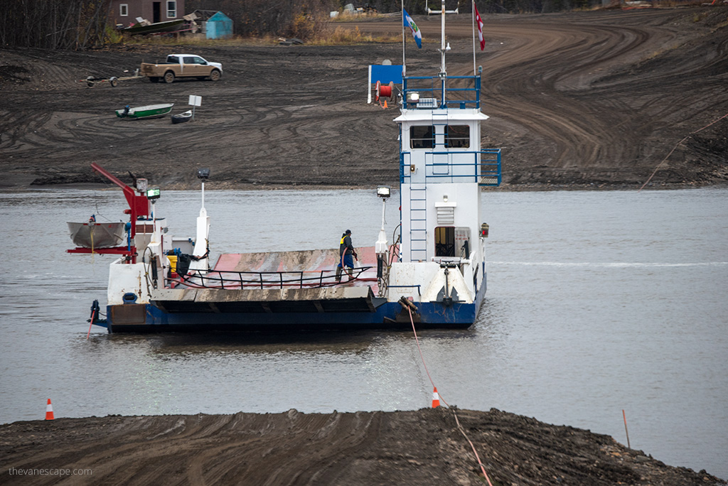
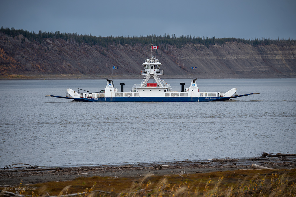
You have to cross two rivers during your Dempster road trip. It’s a free government ferry, and crossing is on-demand or by ice bridge in winter. Ferry service operates on both the Peel and Mackenzie Rivers. River crossings on the Dempster are the Peel River, on the Milepost 334.9, and at the Mackenzie River, Milepost 377.4
- Peel River Ferry operates from 9:15 a.m. – to 12:45 p.m. It runs on average from June 2 to November 8.
- The Mackenzie River Ferry operates from 8:15 a.m. – to 11:45 p.m. It works on average from May 30 to November 8.
Pro Tip: Before traveling, check the official ferries website to see if the operating hours are the same.
The best vehicle for Dempster Highway
First of all, your car must be roadworthy. Be sure to follow our previous tips. Please check our articles: Road Trip Packing List Essentials and Car Camping Checklist. They should be helpful.
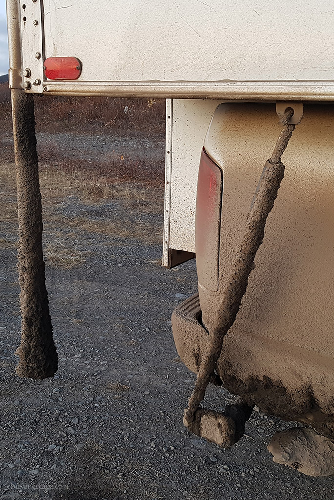
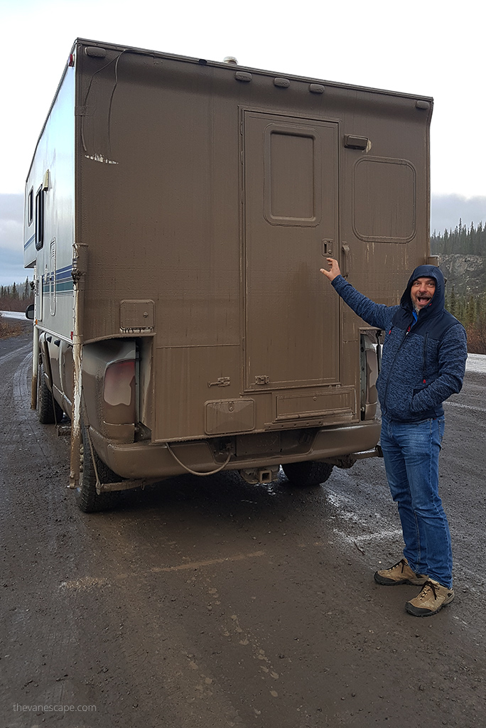
We recommend a car with high suspension and 4 WD. It was helpful when, on the way back, first it was raining, and then there was frost and glazed frost. The Dempster Highway is passable by a normal car as long as it doesn’t rain. But when it rains, the road becomes very slippery and the drive becomes a mud fight.
It is challenging to rent a car for this route. Most rental companies will not authorize you to ride this route. Therefore, carefully read the terms and conditions and ask for details if you can go on this trip.
What is the best time to drive the Dempster Highway?
- Summer (mid-June – mid-August)
The best months for travel, and in fact the only months when the entire route to the Arctic Ocean is navigable, are June, July, and August. Summer conditions are best because the midnight sun shines and the days are long. All facilities along the route are open. Grocery stores, gift stores, and visitor centers are also open.
Wildlife along the highway: grizzly bears, black bears, foxes, wolves, and ground squirrels are the most common wildlife spotted during the summer season. - Fall (late August-September)
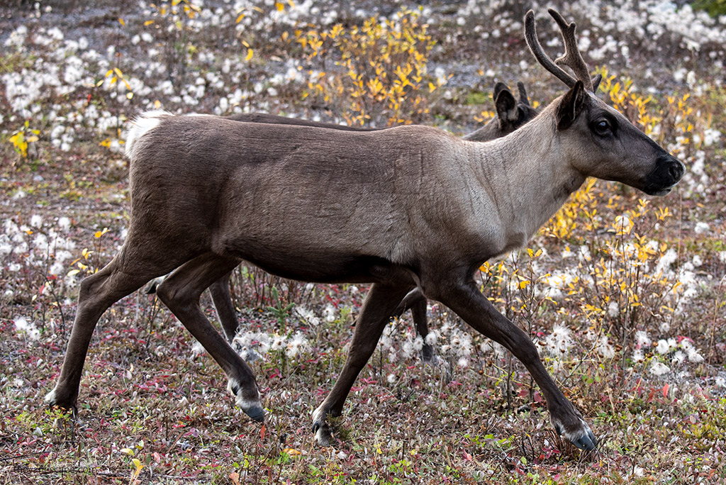
Autumn is short here. September is the beginning of the winter season. September is beautiful because of the fall colors, but the temperatures are cooler. We were traveling in the first half of September, and everything was already closed for the winter except for the gas stations.
Wildlife: foxes, caribou, and grizzlies are often spotted along the road.
- Winter (October – March)
In winter, the highway is passable except during the weeks listed above. Ice road crossings are accessible from late November to late April. If you are planning a winter trip, however, keep in mind that temperatures can be frigid, with very gusty winds or snowstorms. But it’s also aurora borealis season.
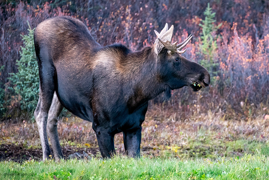
Wildlife: foxes, hares, moose, and grouse are often spotted foraging along the roadside. - Spring (April – early June).
Although spring brings warmer temperatures and more sunlight, roads are still frozen and the ground is covered with snow. Winter driving conditions may still be present. It can also be muddy.
Wildlife along the Dempster Highway: foxes, rabbits, and grouse are often spotted foraging along the roadside.
Also, only drive this route during the day. Keep your lights on during the entire drive. Stay in a safe place to spend the night.
Stop overnight before sunset. Never drive in the dark. It’s hazardous. If a wild animal jumps onto the road in the darkness, you have no chance with it.
Dempster Highway Weather
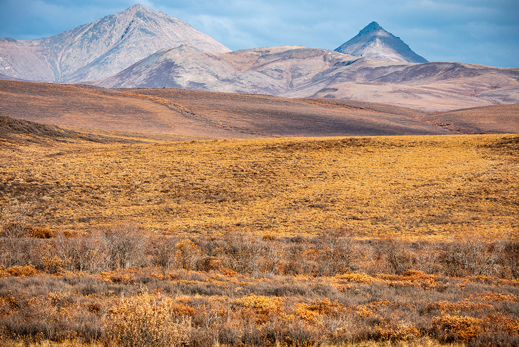
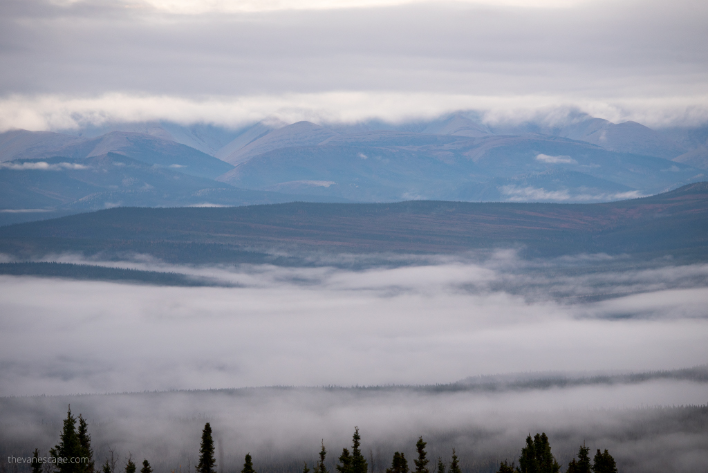
The weather can change quickly and drastically. The road winds through two mountain ranges, the Oglivie and the Richardson. It crosses the Continental Divide three times, crosses the Arctic Circle, and largely follows the old dog team routes on its way to Inuvik and the Mackenzie Delta. Therefore, be prepared for weather surprises on this route, no matter what the forecast is.
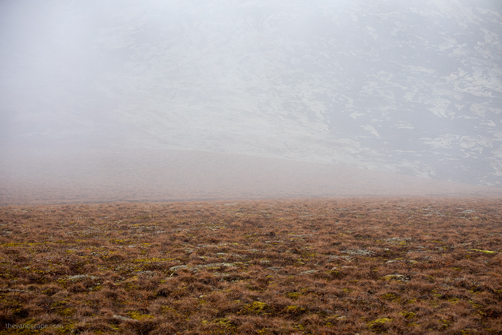
We experienced all seasons on this highway. It was mid-September. The first few days were sunny and calm, then came the rain and the fog that did not allow visibility. We also experienced the first winter frost and black ice on this route. Yes, September is the beginning of winter on the Dempster Highway.
Inuvik Weather
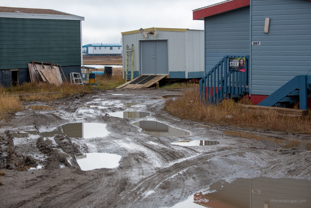
In Inuvik, the summers are cool; the winters are long, icy, and snowy; and the whole year is overcast. Throughout the year, temperatures range from -29° C (-20,2° F) to 20° C (68° F) and rarely fall below -40° C (-40° F) or exceed 27° C (80.6° F).
- The warmest month in Inuvik is July, with an average maximum temperature of 19°C (66°F).
- The coldest month in Inuvik is January, with an average maximum temperature of -24°C (-11°F).
- The wettest month in Inuvik is August, with 44mm (1.7in) of rainfall.
- The driest month in Inuvik is February, with 11mm (0.4in) of precipitation.
Tuktoyaktuk Weather
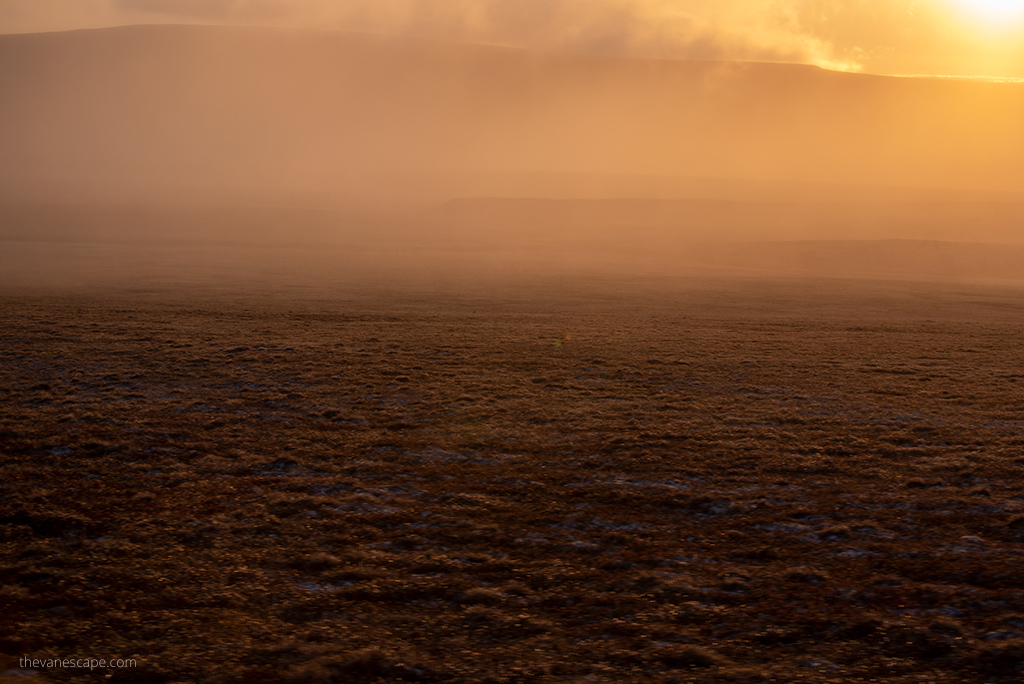
According to the Weather Atlas, summers in Tuktoyaktuk are cool, dry, and very cloudy, while winters are long, icy, snowy, windy, and foggy.
- The coldest month in Tuktoyaktuk is January, with an average high temperature of -23°C (-9.4°F) and an average low temperature of -30.4°C (-22.7°F).
- The lowest recorded temperature in Tuktoyaktuk is -43.2°C (-45.8°F), which was recorded in January.
- There is no rain from January to April and in November.
- The warmest month in Tuktuyaktuk is July, with an average high temperature of 15.1°C (59.2°F) and an average low temperature of 6.9°C (44.4°F).
- The snowiest month is October when it snows for 13 days and typically receives up to 201 mm (7.91″) of snow.
- The rainiest month in Tuktoyaktuk is August. Here, rain falls on 12.4 days with a total rainfall of 24.4 mm (0.96″).
- With an average of 24 hours of daylight, June has the longest days. The shortest days are in December.
Dempster Highway Camping
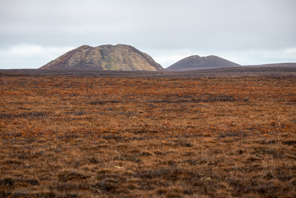
Before crossing into the Northwest Territory, there are three Yukon government campgrounds. And there are two campgrounds in the Northwest Territory. All campsites are simple, without any amenities, but surrounded by beautiful nature. But some were closed during the first half of September. Most campgrounds are open usually from June through September, only a few are year-round open.
Wild camping is allowed, however. Just be sure to park safely, watch for wildlife, and pack your trash. Be careful not to damage vegetation, moss, grass, bushes, and trees. In this harsh climate, each plant is crucial for the ecosystem. Park at a safe distance from the highway. Do not park against mountain walls from which stones may roll-off.
There is also a private campground at Eagle Plains. Showers are included there. However, the showers are closed during the winter season, which begins in early September.
Campgrounds along Dempster Highway
- Kilometer 72 (Mile 45) – Tombstone Mountain Campground with 51 campsites.
- At kilometer 194 (Mile 120) – Engineer Creek Campground with 11 campsites, kitchen shelter, water, and toilets.
- Kilometer 369 (Mile 229) – Eagle Plains Hotel and RV Campground. This is the halfway point to Inuvik. The Highway Lodge is open year-round and offers a restaurant and lounge with a liquor license, a full-service garage, an RV park, and a campground with 15 sites. Be sure to stop here, refuel, rest, and check the weather forecast.
- At kilometer 447 (Mile 277) – Rock River Campground with 17 campsites.
- Kilometer 221 (Mile 137.4) – Gwich’in Territorial Park – Vadzaih Van Tshik Campground – with 10 non-powered sites nestled on the side of Caribou Creek
- Kilometer 240 (Mile 149) – Gwich’in Territorial Park – Gwich’in Territorial Campground with 29 non-powered campsites and 4 tent sites near Campbell Lake.
Lodging along Dempster Highway
This route is through the wilderness. This is not a highway where you will find luxuries and comforts. Accommodation is minimal.
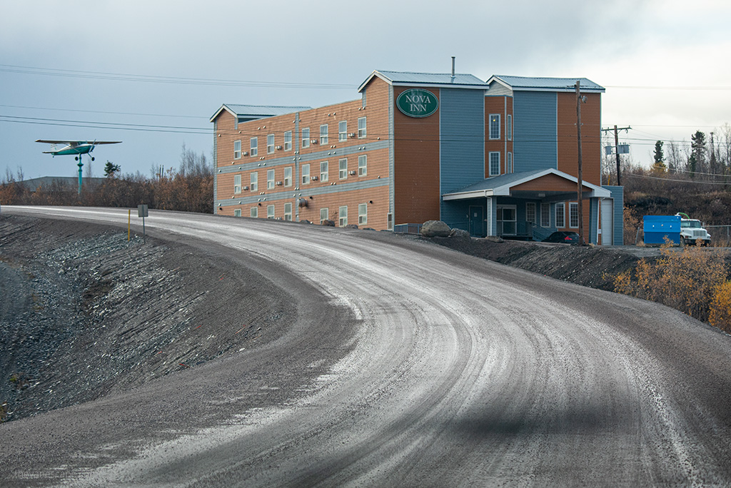
In addition to the mentioned above Eagle Plains Hotel, you will find a hotel in Inuvik. This is the Nova Inn Inuvik. It is worth booking your accommodation in advance because you may have a problem with it in the high season. Also, you can buy groceries in Inuvik. In Tuktoyaktuk, you will find Smitty’s Bed and Breakfast and Hunter’s B&B. But there were closed from September for the winter season.
You will find a great source of information about the highway, its history, interesting places along the route, and campsites in a government publication. Download it before your trip: Dempster Highway Travelogue.
Do you like it? Pin it!
